
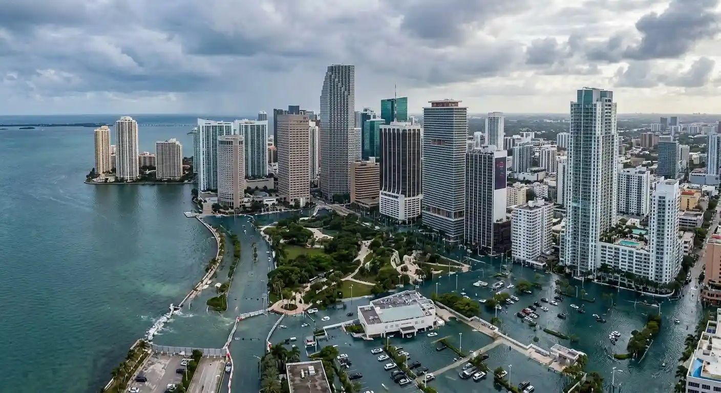
The sea level rise calculated so far by scientists is underestimated. On average, the ocean has already climbed about 30 centimeters (roughly 12 inches) more than predicted, because more than 90% of studies failed to account for decisive local factors such as tides, currents and wind.
That is the conclusion of a study published in Nature by Katharina Seeger and Philip Minderhoud, researchers at Wageningen University in the Netherlands. The authors carried out a meta-analysis of 385 scientific papers on coastal exposure to sea level rise, published over the past 15 years, from 2009 to 2025.
The flaw: models instead of measurements
The root of the underestimate is methodological. More than 90% of the nearly 400 papers analyzed draw their forecasts from gravitational or geoid models based on satellite data, rather than from real local sea level measurements. Those models account only for Earth’s gravity and rotation, leaving out what actually sets the height of the water on any given coast: wind, currents and tides.
“Most sea level studies do not reflect reality because they rely on models and do not use direct measurements,” said Minderhoud, a specialist in hydrology and risk management for coastal populations.
Only 9% of the publications combine land elevation and sea level measurements, and even those show flaws in how the data are aligned. Fewer than 1% of studies correctly link the two.
An uneven underestimate
The global average of 0.3 meters hides enormous differences. In some regions, such as Southeast Asia and the Pacific, the real rise is between 1 and 1.5 meters (3 to 5 feet) higher than estimated. Latin America also ranks among the regions where the risk to coastal populations was most underestimated. Europe and the Mediterranean, by contrast, show the smallest gap between estimate and reality.
The difference is not an academic footnote. Coastal defense plans, flood risk maps, insurance and decisions about where to build all depend on it. Underestimating the sea by a meter means protecting the wrong people, in the wrong place.
Hundreds of millions of people on the line
The authors estimate that hundreds of millions of people now live in exposed coastal zones. When the exposure calculation starts from a sea level lower than the real one, that population appears statistically safe while, in practice, it is at risk.
For Latin America, and for the Amazon deltas and coastlines where the river meets the ocean, the warning is concrete: the combination of rising seas, sinking land and tides may arrive sooner and harder than current maps suggest. The fix the researchers propose is not a better model, but something simpler and harder: measure on the ground.
Reporting: Anne Silva / Amazonia Mag. Source: study by Katharina Seeger and Philip Minderhoud, Wageningen University, published in Nature.
This article is the English edition of reporting originally published by Revista Amazônia. Images: Revista Amazônia archive.

Editor · Amazonia Mag
Anne Silva is the editor of Amazonia Mag, the English-language edition of Revista Amazônia. She curates, translates and adapts the outlet's science and environment coverage for an international audience, reporting on Amazon wildlife, flora, rivers, climate and research. Every story she edits is grounded in peer-reviewed studies, official data and on-the-ground reporting from the Revista Amazônia newsroom in Belém, Pará, Brazil. More by Anne Silva →