
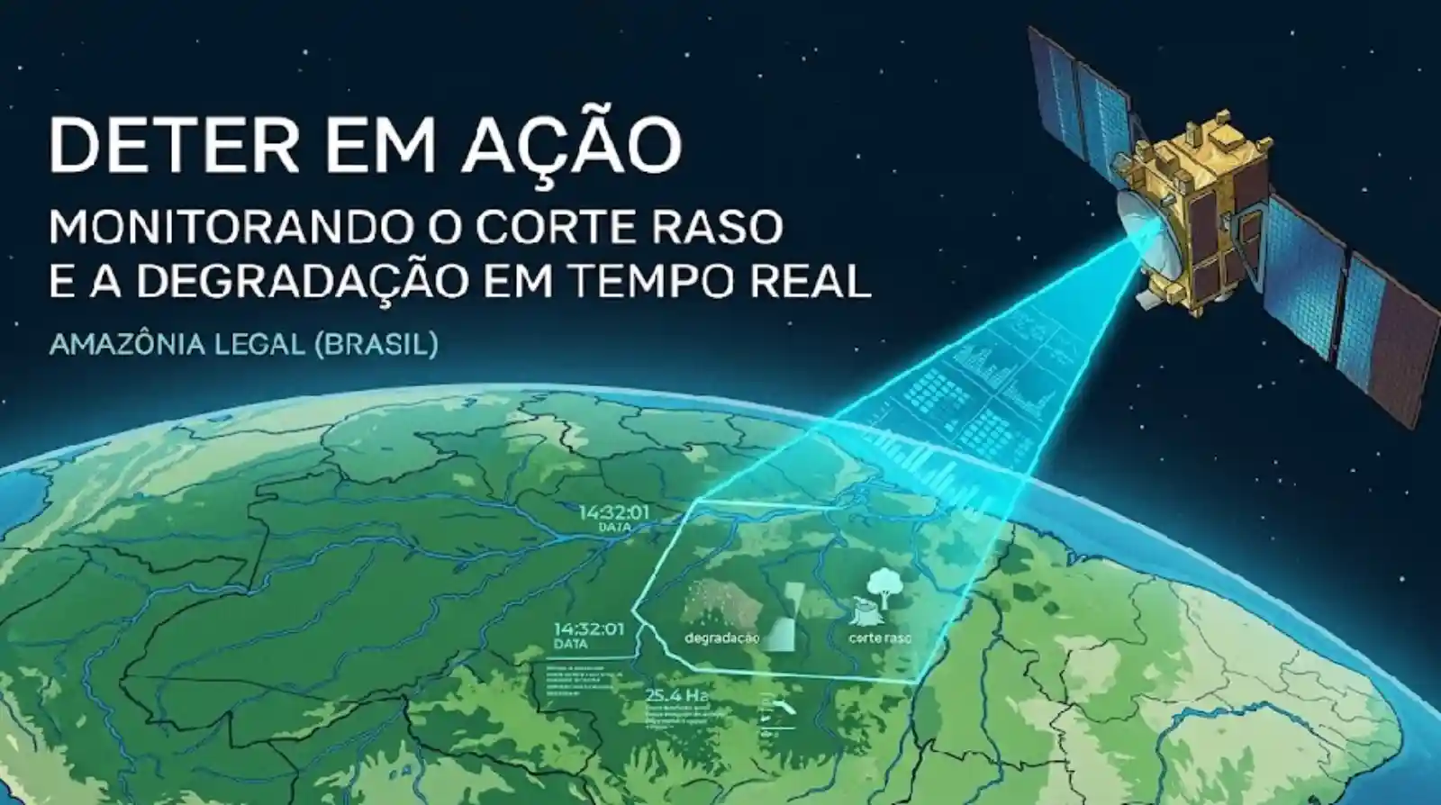
Every morning, before an enforcement team sets foot in the rainforest, a network of orbiting sensors already knows where the trees fell. The system is called DETER, the Portuguese acronym for Real Time Deforestation Detection, and it is operated by INPE, Brazil’s National Institute for Space Research, the federal agency that designs and runs the country’s satellites and processes the images they send back. DETER can flag deforestation alerts in areas as small as 3 hectares almost instantly, and ground teams receive precise geographic coordinates in less than 24 hours.
That processing speed turned Brazil into one of the few nations on the planet with what amounts to a digital coast guard for its forests. The leap did not come from software alone. Advances in optical and radar sensors, which can see through the persistent cloud cover that sits over northern Brazil for much of the year, have sharply reduced the impunity that once protected large scale environmental crime. Where clouds used to work as a natural shield for illegal clearing, Brazilian science now delivers usable imagery in almost any season.
Two clocks: PRODES and DETER
Understanding the shift means separating the two tools Brazil relies on. PRODES, the Brazilian Amazon Satellite Monitoring Program, produces the consolidated annual deforestation rate at very high resolution. It is the official record, the historical thermometer that allows one year to be compared with another and gives climate targets something verifiable to stand on.
DETER works more like an emergency room. It does not aim to be definitive, it aims to be fast, because its job is to raise the alarm while the chainsaw is still running. Among the image sources feeding that work is Amazonia-1, the first Earth observation satellite fully designed, integrated and tested in Brazil. That technological autonomy means the country does not depend exclusively on foreign data to manage its own natural heritage, a form of informational sovereignty that carries real weight in global climate governance: whoever produces the data also helps define the terms of the argument.
From satellite image to field operation
Integrating this information allows agencies such as IBAMA, the federal environmental enforcement body, and ICMBio, which manages protected areas, to plan operations with near surgical efficiency. Instead of patrolling areas at random, agents are sent to clearing fronts that are active at the exact moment of analysis. That geographic intelligence stretches public budgets further and, just as important, keeps field teams safer, since they no longer move blind through territory where illegal activity is often armed.
None of it happens behind closed doors. INPE’s TerraBrasilis portal offers public, transparent access to the collected data and imagery, a level of openness that is rare among tropical forest nations. Anyone, inside or outside Brazil, can audit what the satellites saw.
Data science against organized crime
Illegal deforestation in the Amazon is frequently tied to complex networks of money laundering and fraudulent land grabbing. Artificial intelligence algorithms applied to satellite imagery can identify the pattern of clandestine road openings, known locally as fishbones, before the clearing becomes severe. By catching the early stage of forest degradation, the Brazilian system acts preventively rather than only punitively. This technology is the operational arm of the Action Plan for the Prevention and Control of Deforestation in the Legal Amazon, known as PPCDAm, coordinated by the Ministry of Environment and Climate Change.
Transparency, carbon and supply chains
Open access to Brazilian space data is one of the pillars of the country’s environmental democracy. A researcher, a prosecutor or an international investor can check the status of every square kilometre of forest. That visibility is decisive for carbon credit markets and for guaranteeing that agribusiness supply chains are not linked to deforestation. Continuous monitoring builds something close to a school report card for land: properties that keep their forest standing can be certified and gain value, while offenders are quickly blocked from rural credit and commercial channels.
Brazilian technology companies and startups also use the public data to build applications that help rural landowners comply with the Forest Code. The Brazilian Forest Service relies on the same technical base to run the Rural Environmental Registry, or CAR, pairing the satellite’s view with the landowner’s legal responsibility. The technology, in other words, is not only about punishment: it organizes the territory and makes production within nature’s limits practical.
Amazonia-1 and the next generation of sentinels
The successful launch of Amazonia-1 opened a new era of technological independence. Fitted with a wide field camera able to observe a swath of 850 km at 60 metre resolution, it allows frequent revisits to any point in the national territory. That cadence matters for tracking forest fires and the spread of illegal mining on Indigenous lands, two phenomena that move far too fast for occasional inspection. A continuity project, envisioning a constellation of Brazilian satellites, is meant to keep the country ahead in orbital remote sensing and to cover every Brazilian biome, from the Pantanal wetlands to the Atlantic Forest.
Training a new generation of Brazilian space scientists and engineers is an essential by product of that infrastructure. Institutions such as ITA, the Aeronautics Institute of Technology, collaborate on nanosatellites that complement the monitoring network, binding advanced education to conservation.
Technological diplomacy and the map of life
Brazil has become a reference point for supplying monitoring data to other countries of the Amazon Basin, through international cooperation coordinated by ACTO, the Amazon Cooperation Treaty Organization. INPE trains technicians from neighbouring nations so they can apply the Brazilian methodology in their own territories. That technological diplomacy strengthens protection across the whole Pan Amazon and consolidates Brazil as a technical leader in tropical forest conservation.
Over the long run, satellite monitoring also helps identify biodiversity corridors in urgent need of restoration. Seen from above, the forest can be read as a map of life, its isolated fragments reconnected so that species such as the jaguar, Panthera onca, still have room to roam. The satellites are the eyes of a country that decided ignorance is no longer an acceptable environmental position: they make the invisible visible, and they make it possible to act before the irreparable happens.
Reporting: Anne Silva / Amazonia Mag. Source: Revista Amazônia, INPE (DETER and PRODES systems, TerraBrasilis portal), Brazilian Ministry of Environment and Climate Change (PPCDAm), Brazilian Forest Service (CAR), ACTO.

Editor · Amazonia Mag
Anne Silva is the editor of Amazonia Mag, the English-language edition of Revista Amazônia. She curates, translates and adapts the outlet's science and environment coverage for an international audience, reporting on Amazon wildlife, flora, rivers, climate and research. Every story she edits is grounded in peer-reviewed studies, official data and on-the-ground reporting from the Revista Amazônia newsroom in Belém, Pará, Brazil. More by Anne Silva →